🗨 About Me
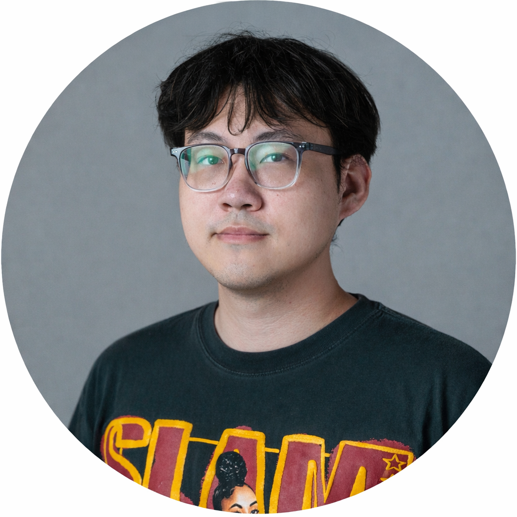
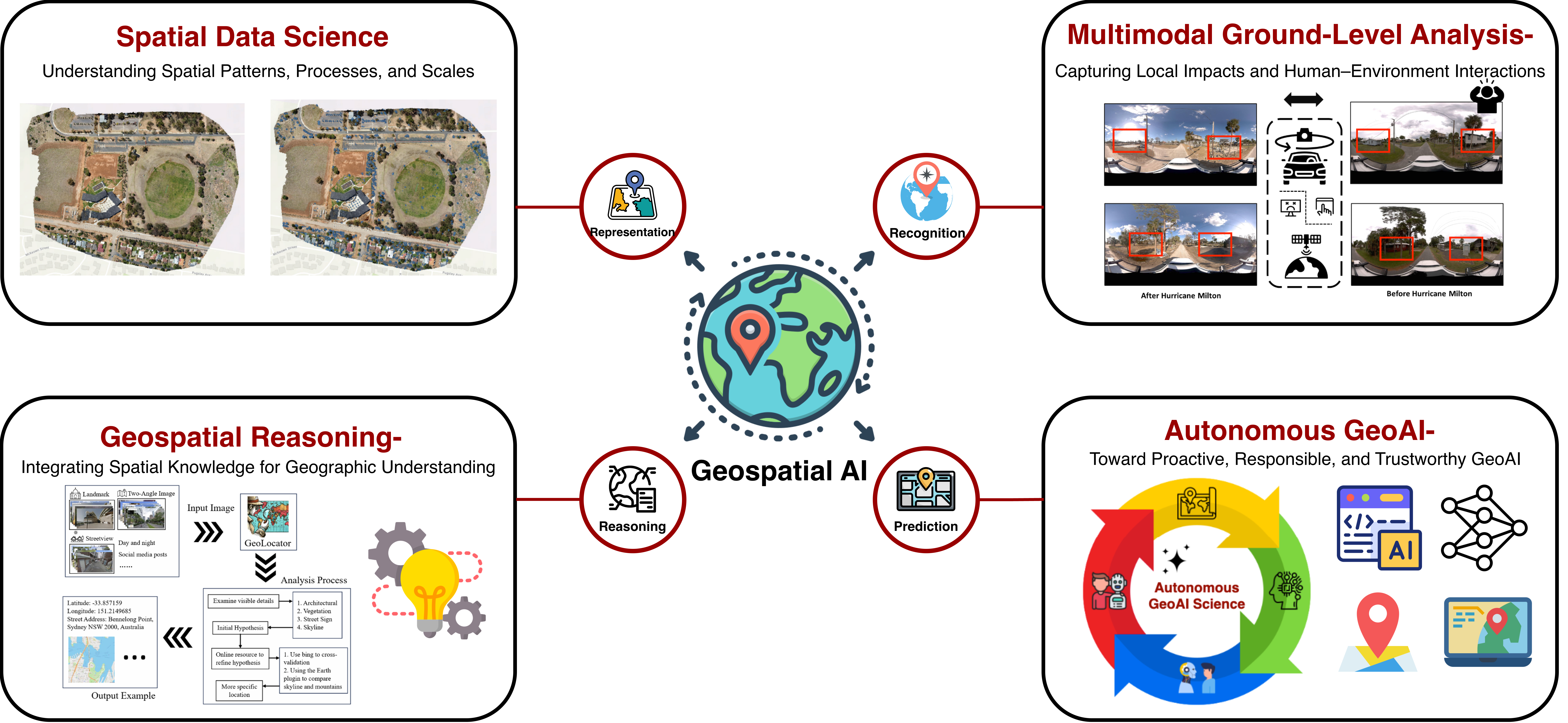
I am Yifan Yang, a Ph.D. student in the Department of Geography at Texas A&M University, advised by Dr. Lei Zou in the Geospatial Exploration and Resolution (GEAR) Lab. My research centers on Responsible GeoAI and Autonomous GeoAI, with a focus on explainable and trustworthy systems for spatial decision-making. Beyond my research, I founded AutonomousGeoAI4Science, an open community hub for papers, tools, benchmarks, and collaboration. My doctoral committee members are Dr. Heng Cai, Dr. Andrew Klein, and Dr. Zhengzhong Tu.
🔭 Vision: To transcend the boundaries of screens and make the real world our playground of intelligence — where AI, space, and humanity coexist and co-create.
Before starting my Ph.D. studies, I earned a master’s degree in Spatial Data Science from the University of Southern California. During my master’s, I worked with Dr. John P. Wilson on the Urban Trees Initiative, where I explored geospatial approaches to urban sustainability. Under the mentorship of Dr. Siqin Wang, I also completed a research internship at the Spatial Data Lab, Harvard University, which further strengthened my expertise in Geospatial AI and interdisciplinary data science.
Prior to graduate school, I received a bachelor’s degree in Software Engineering from Hainan University in China. I hope to use computer science and spatial science to make a positive contribution to the world. I’m also an AI4Science enthusiast, and my hobbies are basketball🏀, football⚽, golf🏌️♀️, poker🎴, and talk shows🎆.
📄 Curriculum Vitae: View CV
Research interests:
📰 News
📖 Educations
Ph.D. in Geography, Aug. 2024 – Present
Advisor: Prof. Lei Zou, GEAR Lab

M.S. in Spatial Data Science, Aug. 2022 – May 2024
Advisors: Prof. John Wilson, Prof. Siqin Wang

B.S. in Software Engineering, Aug. 2018 – May 2022
Advisors: Prof. Jieren Cheng, Prof. Qi Qi
💻 Experiences

Student Researcher, Jul. 2026
University of Illinois Urbana-Champaign
Spatial AI & Convergence Science (NSF I-GUIDE)
Graduate Research Assistant, Jan. 2025 – Present
Advisor: Prof. Lei Zou, GEAR Lab

Spatial Data Lab Research Intern, Mar. 2025 – Aug. 2025
Center for Geographic Analysis
Certificate of Completion
Mentor: Dr. Siqin Wang
Master Student Researcher, Sept. 2023 – Apr. 2024
Urban Tree Shade Model
Advisors: Prof. John Wilson, Prof. Yi Qi, Beau MacDonald

Data Engineering and AI Model Fine-tuning Intern, Feb. 2023 – May 2023
Industry Internship (Generative AI)
🚀 Founder & Initiatives
Founder, Jan. 2026 – Present
An open research initiative advancing autonomous GeoAI agents for scientific discovery.
🖥 Teaching
Graduate Teaching Assistant, Aug. 2024 – Dec. 2024
GEOG232, lab sections 501, 502, 505
Guest Lecturer, 2025 – 2026
· GEOG 475: Advanced GIS, Spring 2026 — Geographically Weighted Regression (GWR) 💻
· GEOG 659: GeoDatabase, Fall 2025 — Spatial Query Lab: Interactive Spatial SQL & PostGIS 💻
· GEOG 476: GIS Practicum, Spring 2026 — Git, GitHub & Personal Websites for GIS Researchers 💻
📕 Selected Publications
I do not really have a single representative work; I love all of my first-author papers equally, because each of them records a part of my growth.
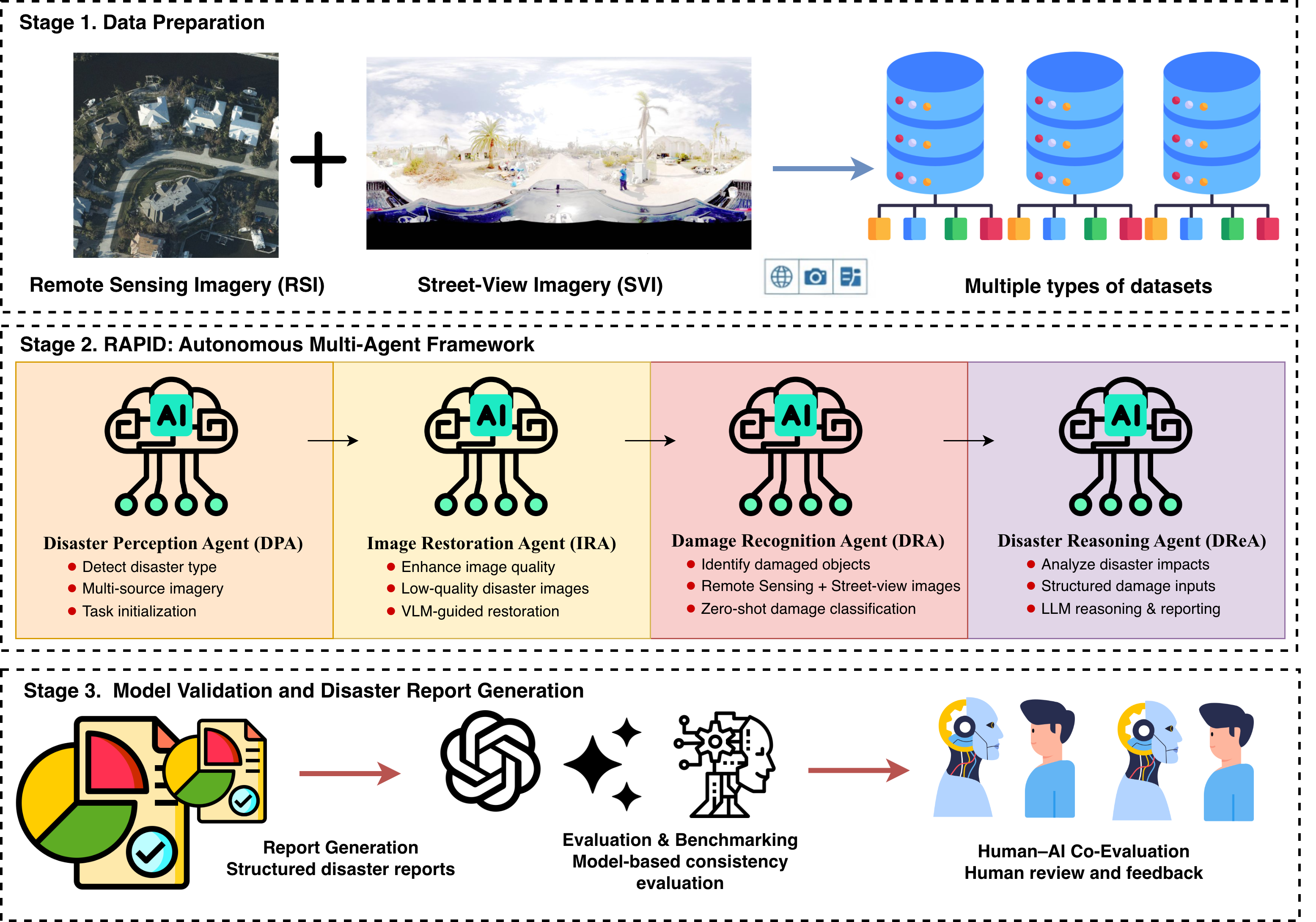
arXiv preprint, 2026.
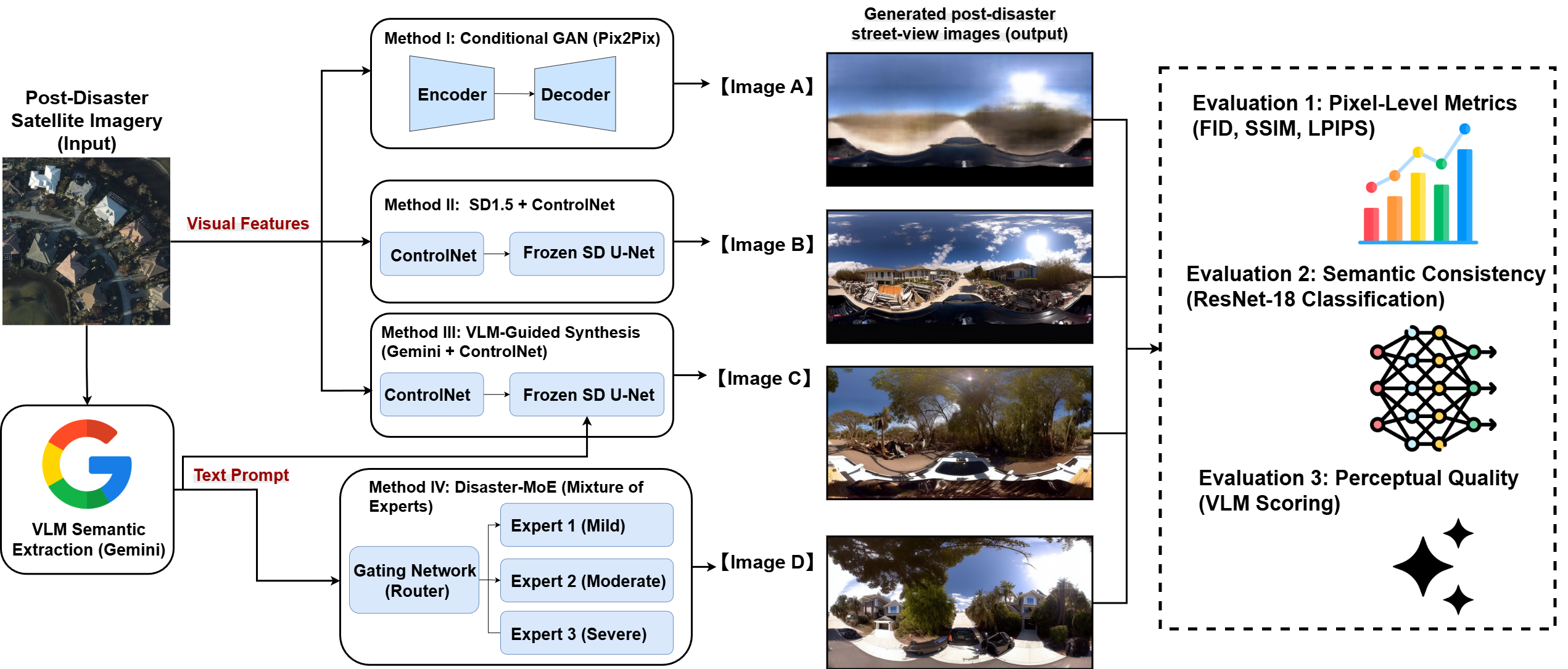
Accepted to IGARSS 2026 — IEEE International Geoscience and Remote Sensing Symposium.
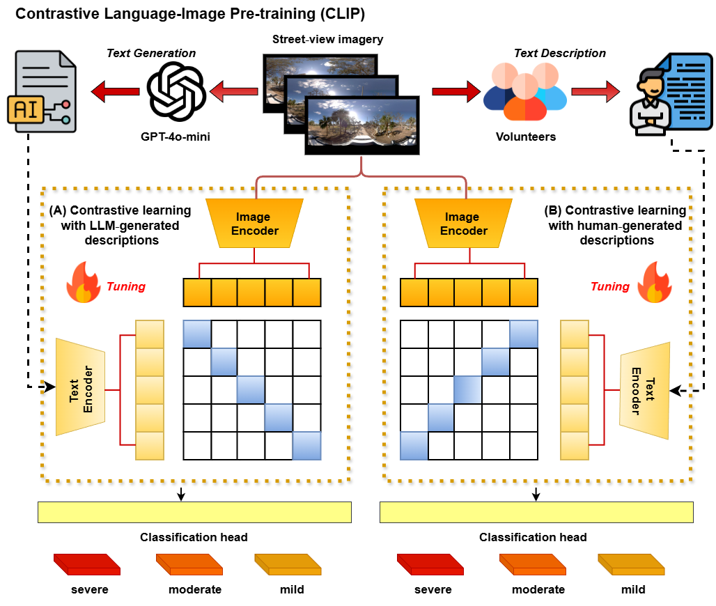
arXiv preprint, 2026.
🏆 2nd Place — AAG GIS Specialty Group (GISSG) Student Honors Paper Competition, 2026
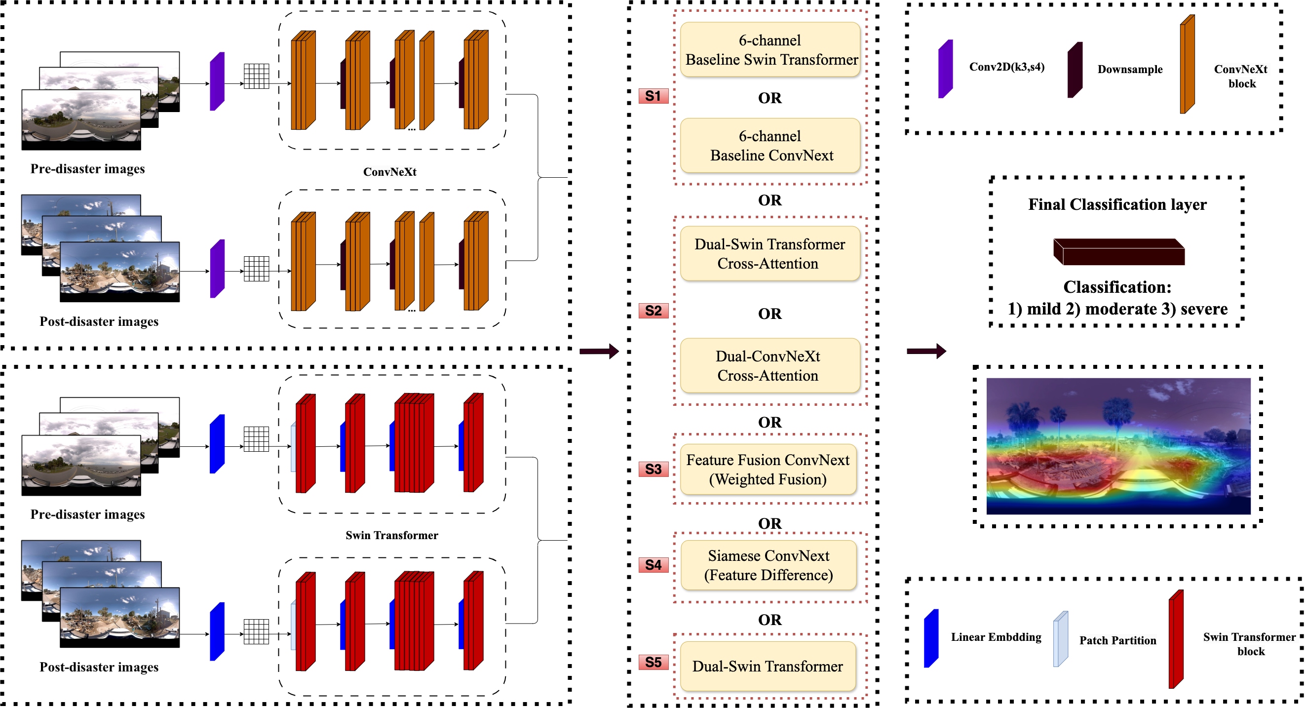
Computers, Environment and Urban Systems, Volume 121, 102335, 2025.
💐 Honorable Mention — AAG GIS Specialty Group (GISSG) Student Honors Paper Competition, 2025
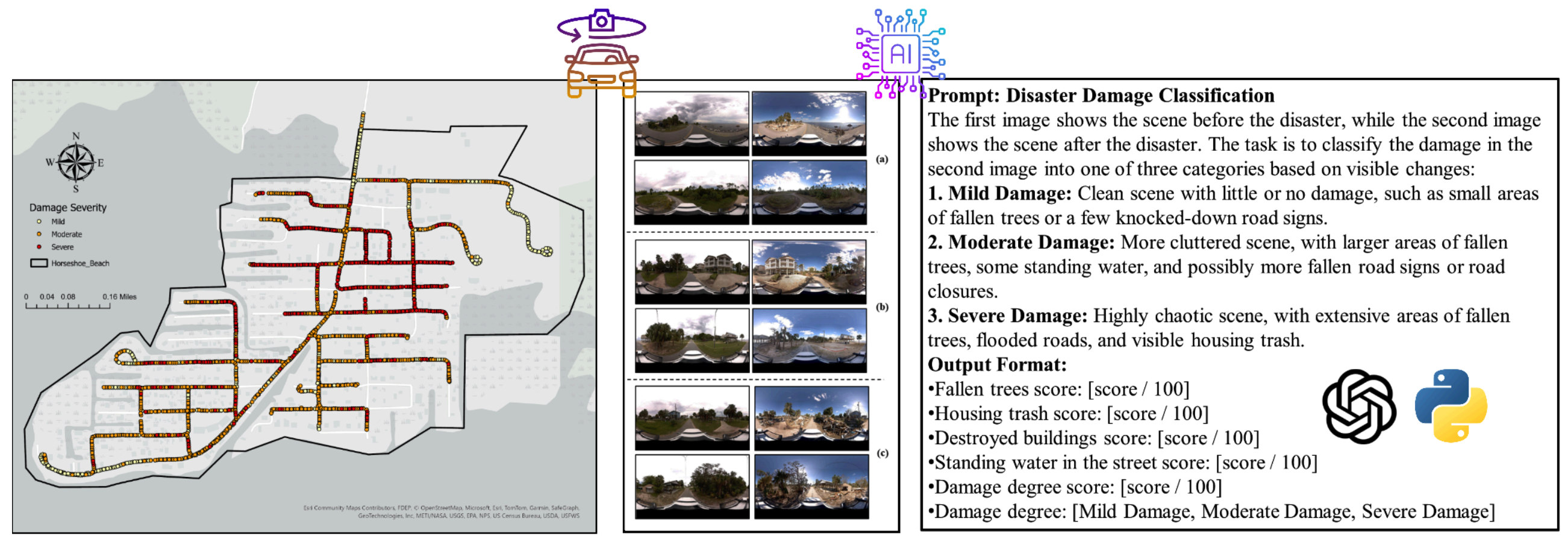
Abstracts of the International Cartographic Association, Volume 10, 310, 2025.
🏆 Best Student Paper Award — ICC 2025, Vancouver, Canada
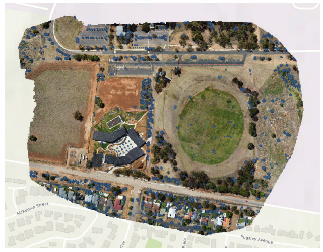
In: Darren Martin Ruddell & Diana Ter-Ghazaryan (eds.), Security First: Geospatial Workflows for a Safe and Equitable World.
Esri Press, 2025. (Chapter 7)
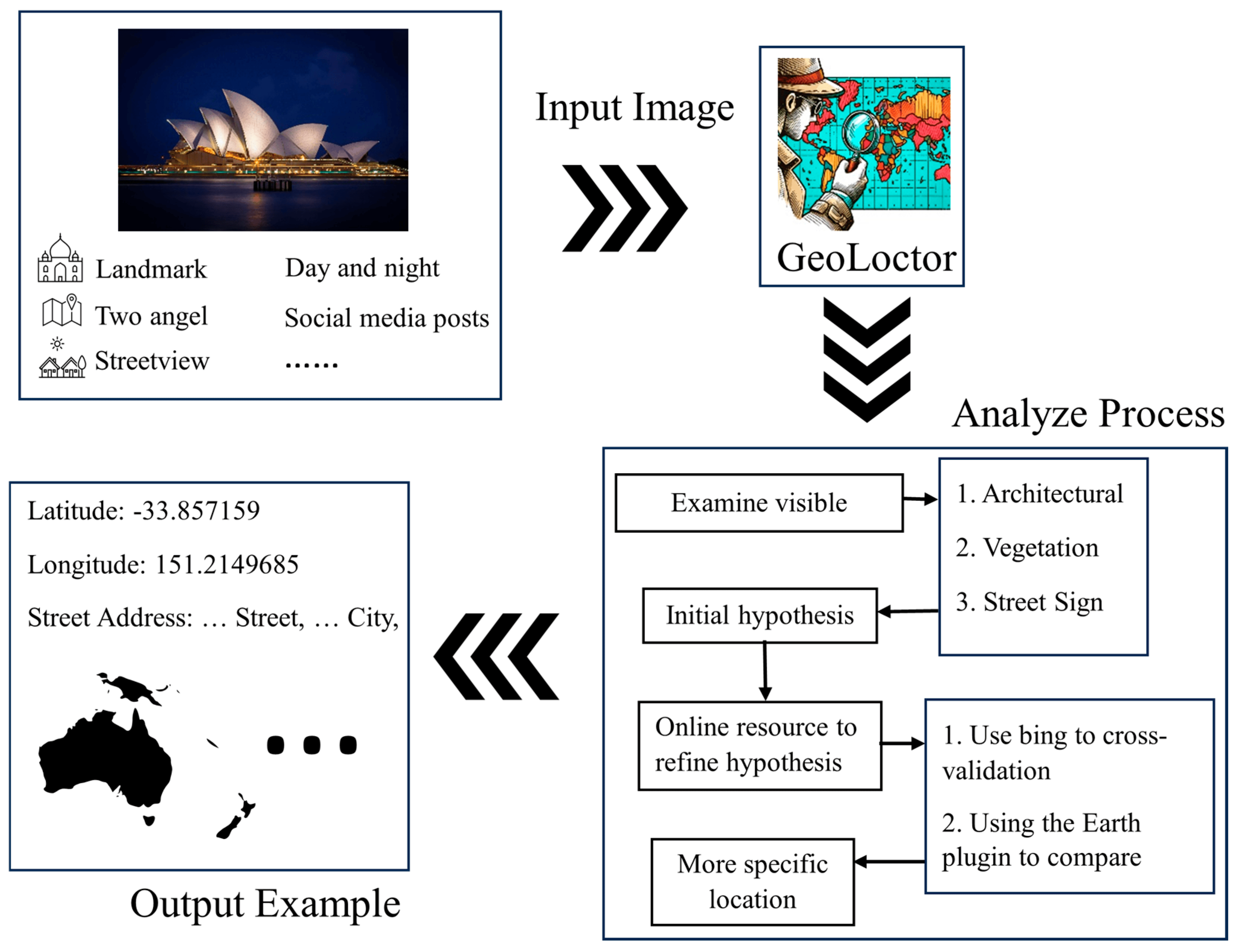
Applied Sciences, 14(16), 7091, 2024.
🏘 Presentation
-
2026
-
Cartography and Geographic Information Society (CaGIS) Conference,
St. Louis, Missouri, September 8–11, 2026
(Program).
- Session 1B: GeoAI, Disaster Mapping, and Hydrography (Research) — Yifan Yang and Lei Zou: RAPIDMap: Rapid multi-Agent Pipeline for Interpretable Disaster Mapping from Satellite and Street-view Imagery. Tuesday, September 8, 2026, 2:00 pm, Rooms 352/353.
-
Symposium on Spatiotemporal Data Science, Virginia Tech Academic Building One, Alexandria, VA, August 7–8, 2026
(Program).
- Session Organizer — “Spatiotemporal AI for Urban and Environmental Intelligence: Sensing, Inference, and Human-Centered Applications.”
- Onsite Oral Presentation — Yifan Yang: Satellite-to-Street: Synthesizing Post-Disaster Views from Satellite Imagery via Generative Vision Models.
-
IEEE International Geoscience and Remote Sensing Symposium (IGARSS),
Washington, D.C., August 13, 2026.
- Leveraging AI, LLMs, and Geospatial Technologies for Rapid and Explainable Post-Disaster Damage Intelligence — Yifan Yang, Lei Zou, and Wendy Jepson: Satellite-to-Street: Synthesizing Post-Disaster Views from Satellite Imagery via Generative Vision Models (Paper TH3.R6.4).
- American Association of Geographers Annual Meeting, March 17–21, 2026, San Francisco, California (Session 90541, Session 25333, Session 24774, Session 25413, Session 25683, Session 25257, Session 25338).
-
Cartography and Geographic Information Society (CaGIS) Conference,
St. Louis, Missouri, September 8–11, 2026
(Program).
-
2025
-
International Cartographic Conference (ICC), Vancouver, Canada, August 18–22, 2025.
- Student Paper Session — Yifan Yang: Perceiving Multidimensional Disaster Damages from Street-View Images Using Visual-Language Models.
- GeoAnalytics for Sustainable and Livable Cities, ICC pre-conference symposium, Vancouver, Canada, August 17, 2025 — Yifan Yang and Lei Zou: DisasterVLP: A Vision-Language Pretrained Framework for Multidimensional Disaster Damage Assessment Using Street-View Images (Symposium Page).
- American Association of Geographers Annual Meeting, March 24–28, 2025, Detroit, Michigan (Session 23561, Session 23718, Session 82104, Session 83465).
-
International Cartographic Conference (ICC), Vancouver, Canada, August 18–22, 2025.
-
2024
- American Association of Geographers Annual Meeting, April 16–20, 2024, Honolulu, Hawai'i (Session 7825).
- Spatial Data Science Symposium — Thematic Session, Geoprivacy Challenges and Solutions in the Digital Society (Session Details, Watch Video).
- Spatiotemporal Data Science Symposium — Pre-symposium Training Workshop, Washington DC, July 22, 2024 (online) (Event Page).
- AGI Leap Summit — Multimodality, Paper Presentation, SuperAGI, February 29, 2024 (Virtual) (Summit Website).
- Los Angeles Geospatial Summit, February 23, 2024, Los Angeles, CA (Event Article).
👑 Partial Honors
- 2026 Cartography and Geographic Information Society (CaGIS) Doctoral Scholarship Award, $1000.
- 2026 NSF I-GUIDE Summer School: Spatial AI & Convergence Science — Selected Travel Award.
- 2026 IEEE GRSS Travel Grant — IGARSS 2026, Washington, D.C., $500.
- 2026 AAG-GISSG Student Honors Paper Competition — 🥈 2nd Place, $350.
- 2026 AAG-IGIF Scholarship Award, AAG International Geographic Information Funds (IGIF), $1,200.
- 2025 Environment and Sustainability Graduate Fellow Award, Texas A&M University, $2,500.
- 2025 Travel Grant, Summer School on Cyberinfrastructure and Disaster Resilience, TAMU (funded by NSF), $200.
- 2025-2026 Texas A&M Institute of Data Science (TAMIDS) Student Ambassador Scholarship, Domain Data Science Track, TAMU, $2,000.
- 2025 CaGIS International Travel Grant - 2025 ICC, Vancouver, Canada, $2,100.
- 2025 International Cartographic Conference (ICC), Vancouver, Canada — 🏆 Best Student Paper Award
- 2025 AAG-GISSG Student Honors Paper Competition — Honorable Mention, $200. (Top 5)
- 2025 AAG Applied Geography Specialty Group — AGSG Annual Meeting Award, $196.
- 2024 Travel Grant(Visiting), Department of Geography, University of South Carolina, $400.
- 2024 Lifetime Membership — Nu Theta Chapter, Gamma Theta Upsilon (International Geographic Honor Society)
- 2024 Los Angeles Geospatial Summit — ArcGIS StoryMaps Competition: 🏆 Most Suitably Applied Analysis Methodology
- 2023 9th China International "Internet+" College Students Innovation and Entrepreneurship Competition, Higher Education Main Track, International Project Special Competition (Shanghai Division) ("Ushine — AI+ Multilingual Talent Service Platform") — 🏆 Gold Award.
- 2020 Computer Design Competition for Chinese College Students (Big Data Practice) — 🏆 National First Prize.
- 2020 10th MathorCup College Mathematical Modeling Challenge — Third Prize.
- 2020 13th "Certification Cup" Mathematics China Mathematical Modeling Network Challenge (Inner Mongolia Region) — Second Prize.
- 2020 China-US Youth Creators Competition (Haikou Region) — Third Prize.
- 2020 3rd China Youth Cup National University Student Mathematical Modeling Competition — Second Prize.
- 2020 6th National Mobile Internet Innovation Competition (South China Region) — Third Prize.
- 2020 China University Computer Competition, Innovation Group (Artificial Intelligence Track) — Third Prize.
- 2020 Hainan Selection Competition of the 4th China Creative Wings Innovation Competition — Third Prize / Finalist.
- 2020 Hainan Free Trade Port Entrepreneurship Competition — Honorable Mention.
- 2020 6th China International "Internet+" Student Innovation and Entrepreneurship Competition, Hainan Creative Group — Silver Award.
- 2020 Challenge Cup Student Entrepreneurship Plan Competition (Hainan Region) — Bronze Prize.
- 2020 14th iCAN International Innovation and Entrepreneurship Competition (South China Region) — Second Prize.
- 2020 Hainan University First-Class Comprehensive Scholarship — CNY 2,500.
- 2020 Hainan University "College Student with the Most Innovative Spirit and Practical Ability" Recognition.
👔 Professional Activities and Service
- Student Co-Director, Remote Sensing Specialty Group, American Association of Geographers, 2025 – 2027
- Student Co-Director, Hazards, Risks, and Disasters, American Association of Geographers, 2025 – 2027
- Data Science Student Ambassador, Texas A&M Institute of Data Science (TAMIDS), 2025 – 2026
- Executive Committee Member, Aggie Geographers Graduate Society (AGGS), 2025 – 2026
- Board Member, GISphere (responsible for the GISalon Roundtable Series) , 2024 – 2025
- Vice President, Association of Robotics and Artificial Intelligence, Hainan University, 2021 – 2022
-
Reviewer for leading journals and conferences including:
- ACM Transactions on Autonomous and Adaptive Systems
- Climatic Change
- Computational Urban Science
- International Journal of Applied Earth Observation and Geoinformation
- International Journal of Geographical Information Science
- International Journal of ITS Research
- Scientific Reports
- Transactions in GIS
- Tourism Geographies
- Journal of Transport Geography
- 32nd SIGKDD Conference on Knowledge Discovery and Data Mining (KDD 2026) – AI for Sciences Track
- International Journal of Remote Sensing
🏢 Industry Engagement
-
Rayford AI — Founder-led Venture
Building a geospatial physical AI company that combines remote sensing, street-level imagery, and multimodal spatial intelligence into auditable real-world workflows for property and infrastructure decisions, starting with disaster assessment, claims triage, and resilience operations. Company.
-
Niantic Spatial — Academic Exchange
Invited by Niantic Spatial for an academic exchange in San Francisco on GeoAI, multimodal spatial intelligence, and disaster-related spatial analytics, highlighting the relevance of my research to large-scale spatial systems in industry. Invitation Letter.
-
Mosaic — Featured Research
My disaster assessment research was featured by Mosaic in a story on how Texas A&M is pioneering hyperlocal damage assessment using street-level imagery from Hurricane Milton. Read Story.
-
Vitally AI — Industry Experience
Completed an industry internship in data engineering and AI model fine-tuning, gaining hands-on experience in applied generative AI systems and production-oriented workflows. Company.
📺 Media Coverage
-
📷 Mosaic Featured Story: “How Texas A&M is Pioneering Damage Assessment Using Mosaic Imagery from Hurricane Milton”
Featured by Mosaic for research led with Dr. Lei Zou on hyperlocal disaster damage assessment, showing how bi-temporal street-view imagery can complement satellite observations for post-disaster analysis.
-
🌡️ TAMU Engineering News: “Throwing Shade at Heatwaves.”
Featured in a Texas A&M Engineering article highlighting my research on mitigating urban heat through shade and geospatial analysis.
-
🗺️ Esri Blog: “Showcasing Innovation in GIS Education at the LA Geospatial Summit.”
Esri featured my project for demonstrating innovative uses of GIS and GeoAI at the Los Angeles Geospatial Summit.
-
🌎 TAMU College of Arts & Sciences: “Five Texas A&M Researchers Join National Climate-Health Initiative”
Featured as one of the five Texas A&M researchers contributing to a national effort connecting climate science and public health, highlighting my GeoAI-based research on climate resilience and environmental health.
✍️ Writing & Reflections
This section gathers my reading reflections, research notes, public essays, and thoughts from my Ph.D. journey. Compared with formal publications, these pieces stay closer to the process of research itself: how I read, ask questions, think through GeoAI, disaster resilience, and autonomous science, and slowly grow into a researcher through everyday practice.
-
In the Autonomous Era, What Should a PhD Student Hold Onto?
— Featured Essay, May 2026
A reading reflection on automated science, AI-assisted research, doctoral training, reading, courage, and creativity. As more research work becomes automated, I ask what a Ph.D. student should still hold onto. Read Essay.
-
Ph.D. Year Two: Self-Mastery Makes One Strong
— Ph.D. Year-Two Reflection, May 2026
A Chinese personal reflection on the second year of Ph.D. life, building a reading and review system, training inner strength, and learning to become steadier, braver, and more responsible through writing. Read Essay.
-
Research Philosophy: GeoAI, Disaster Resilience, and Autonomous Science
— Research Philosophy
A living research philosophy document that organizes my thinking and judgment on GeoAI, disaster resilience, responsible AI, autonomous science, and long-term research questions. Read Document; 中文摘要.

📩 扫码关注我的微信公众号 · Follow my WeChat Official Account
🎬 Personal Moments — A glimpse into my journey beyond research
-
🎓 USC Graduation Ceremony
A short highlight from my 2024 USC Commencement Ceremony, where I received my Master’s degree in Spatial Data Science at the University of Southern California.
-
🪂 Skydiving Adventure — GoJump America
A thrilling moment from my skydiving experience in California, capturing the excitement and beauty of freefall above the Pacific Ocean.
-
🌐 GISalon Roundtable: GeoAI and the Future of GIS
A GISalon roundtable conversation on GeoAI and whether AI will replace GIS, featuring my perspective as a Texas A&M Geography Ph.D. student. Watch on Bilibili.
-
🏀 Basketball Highlights
A quick highlight from one of my basketball games — staying active on and off campus. Watch on YouTube.
📺 扫码关注我的微信视频号 · Follow my WeChat Channels
📸 Personal Gallery — Moments That Inspire Me


🌎 Miscellaneous
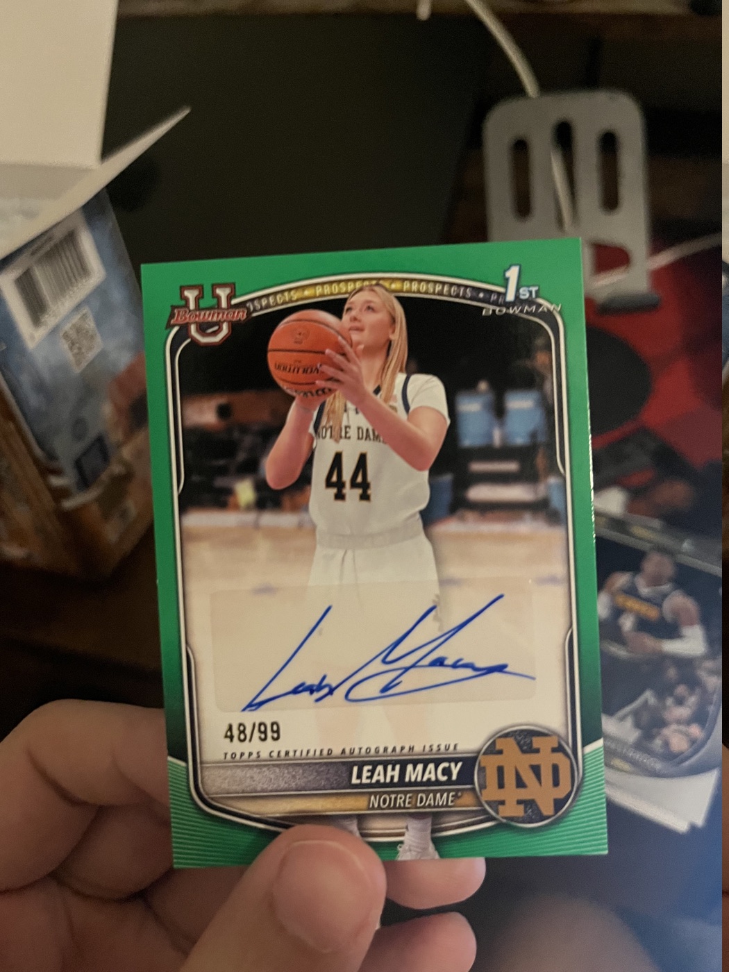
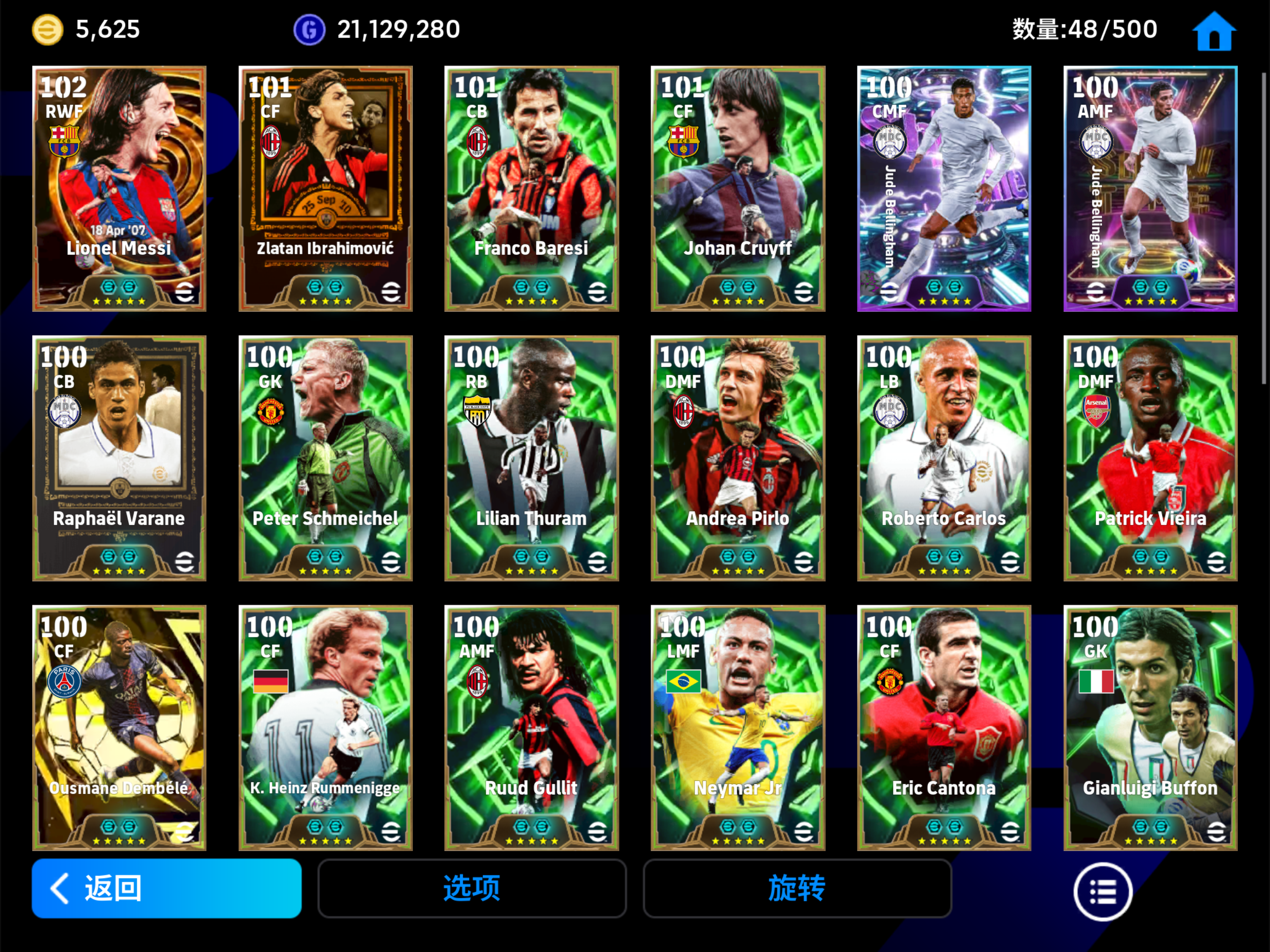
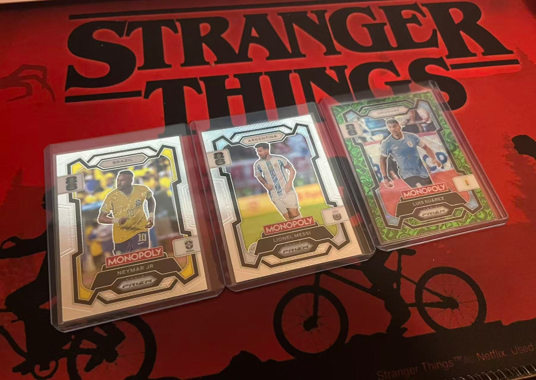
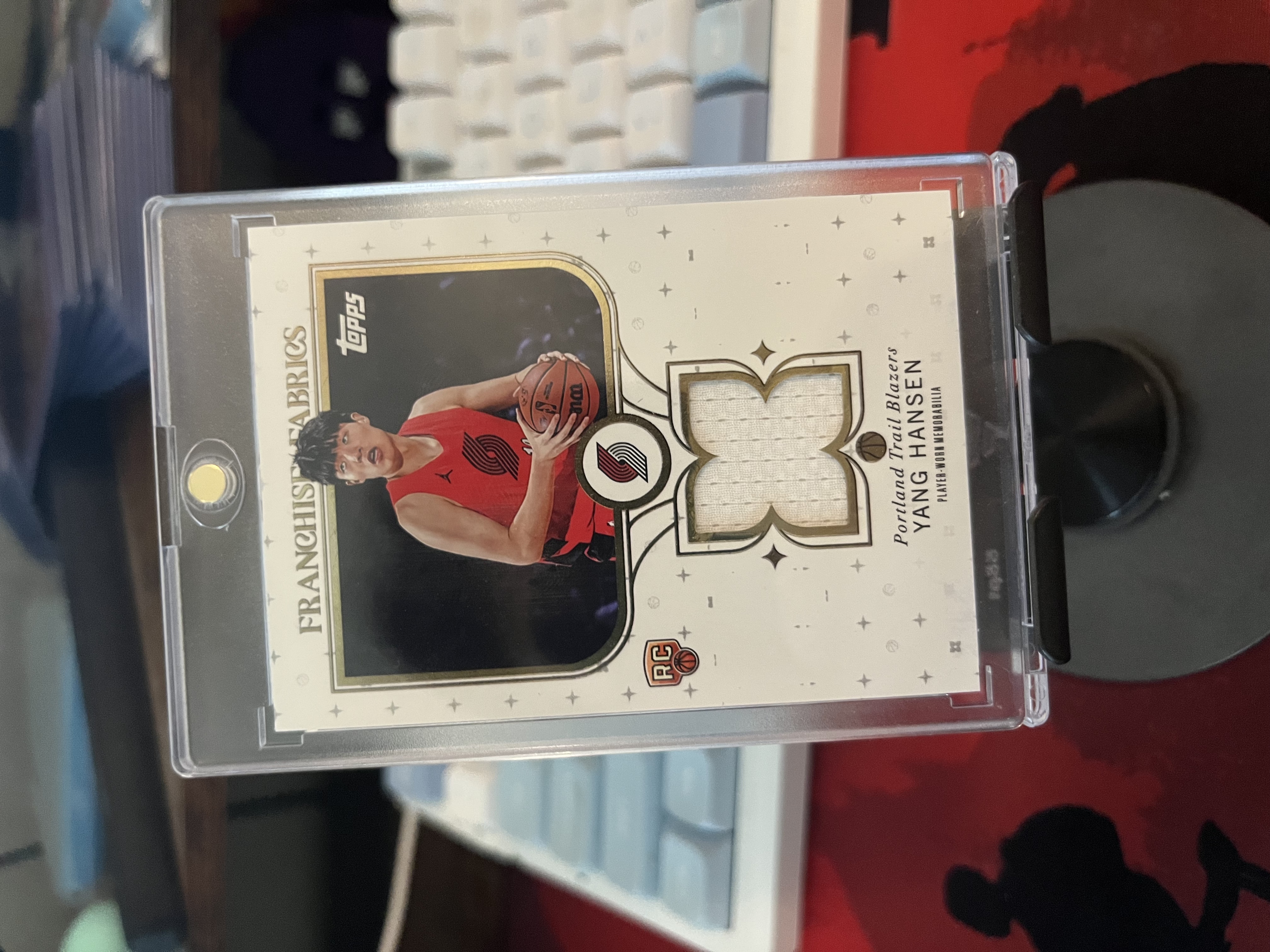
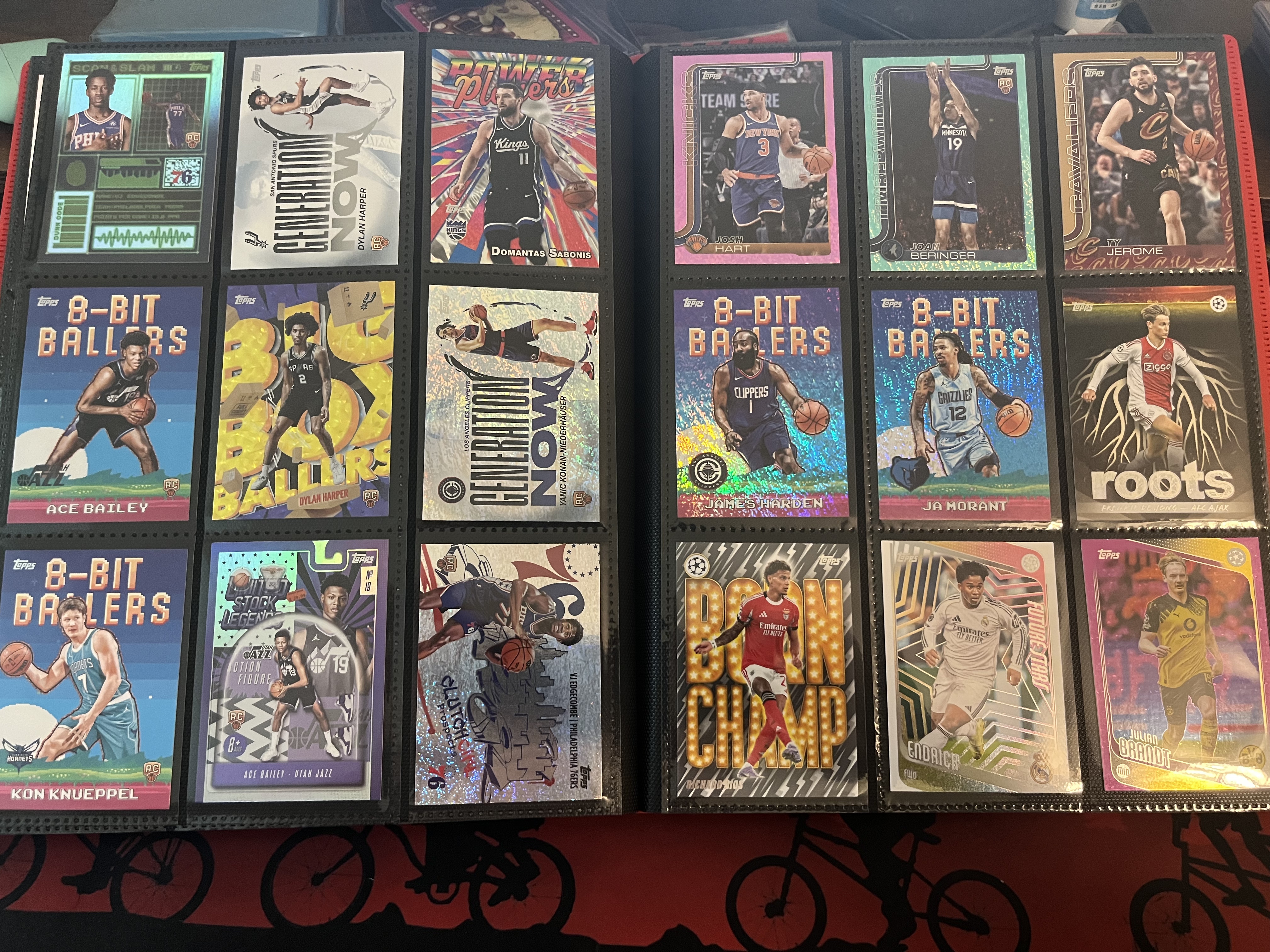
Outside of research, I enjoy playing eFootball, following football and basketball, and collecting trading cards, especially limited and signed cards from athletes I admire.